Analanjirofo · MADAGASCAR
Ten places to discover in Sainte-Marie and its region Ten 3D stops in Sainte-Marie and its region: places, landscapes and sounds of Madagascar.
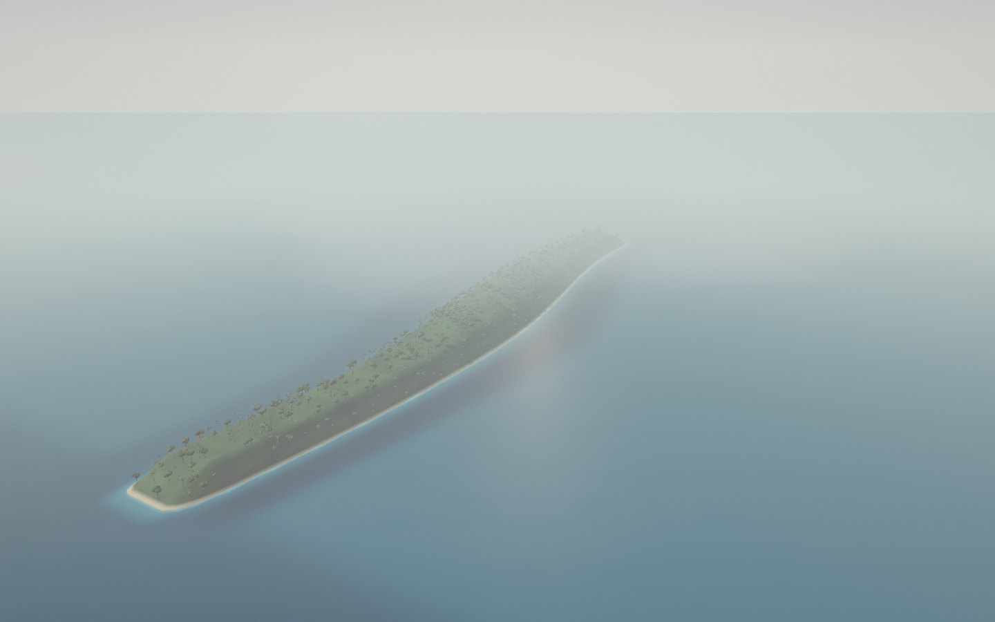
Start the immersive tour ↗ Nosy Boraha Ambodifotatra Pirates’ Cemetery Île aux Nattes Ampanihy Bay The eastern coast Blévec Lighthouse Ikalalao Forest Ambodiatafana pools The passage of whales Nosy Boraha Sainte-Marie stretches off Madagascar’s eastern coast. A green ridge separates its shores; a channel divides its southern tip from Île aux Nattes.
Find Nosy Boraha’s two shores and the passage towards Île aux Nattes.
Access Destination panorama Place source ↗ See this stop ↗
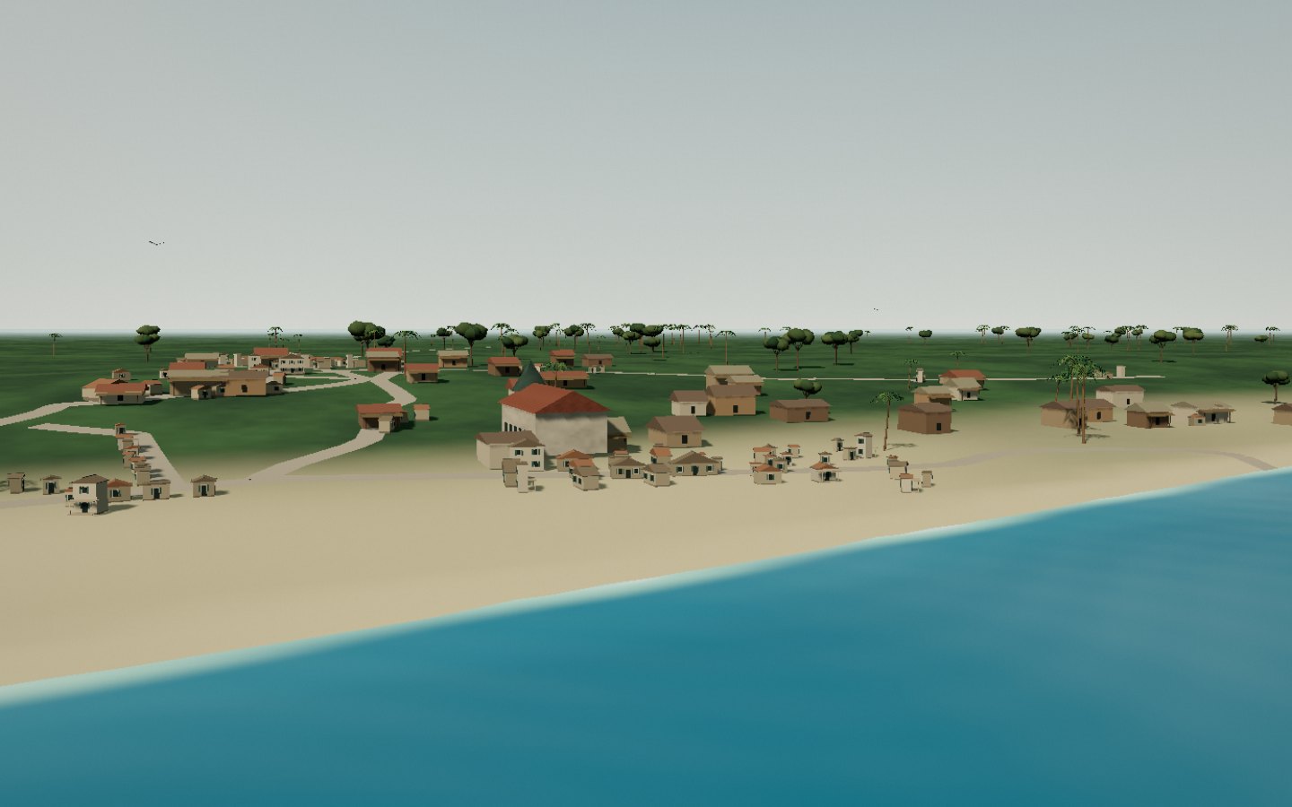
Ambodifotatra On the western coast, Ambodifotatra is Sainte-Marie’s main town. Its waterfront, houses and church reveal an inhabited island beyond its beaches.
Follow the waterfront towards the houses and the church.
Access Check access locally Place source ↗ See this stop ↗
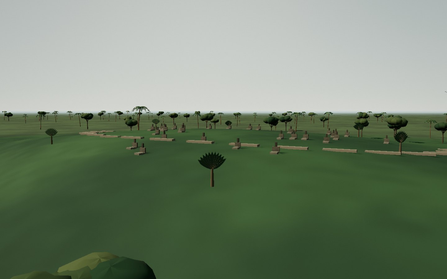
Pirates’ Cemetery Near Ambodifotatra, the pirates’ cemetery looks over the waters southwest of the island. Old stones, grass and a maritime horizon form a place of memory.
Discover the old stones between the vegetation and the sea.
Access Check access locally Place source ↗ See this stop ↗
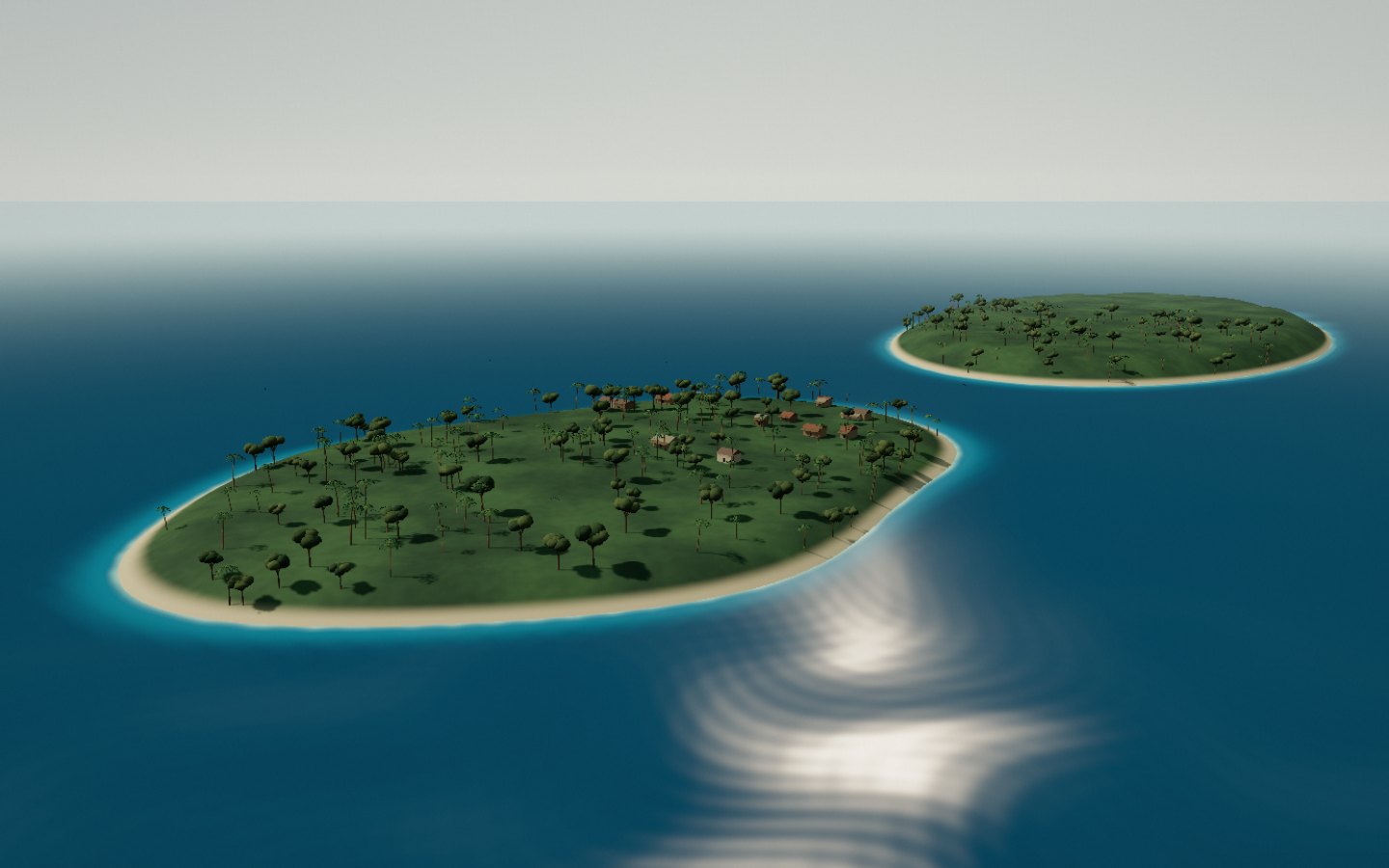
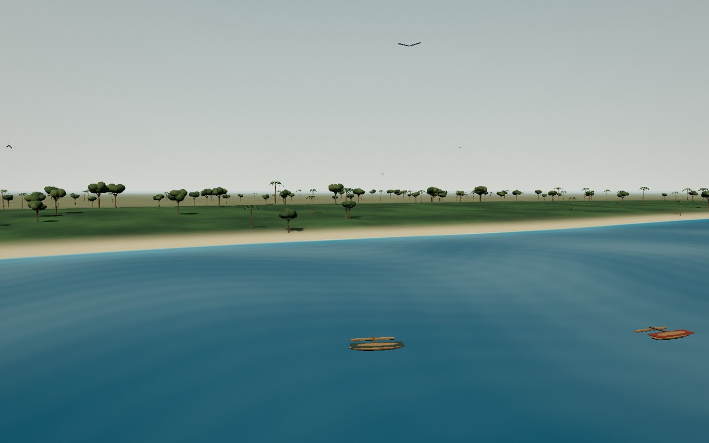
Île aux Nattes Nosy Nato, or Île aux Nattes, lies south of Sainte-Marie. A channel, sand and coconut palms outline a low island surrounded by lagoon.
The channel separates two nearby, leafy shores.
Access Check access locally Place source ↗ See this stop ↗
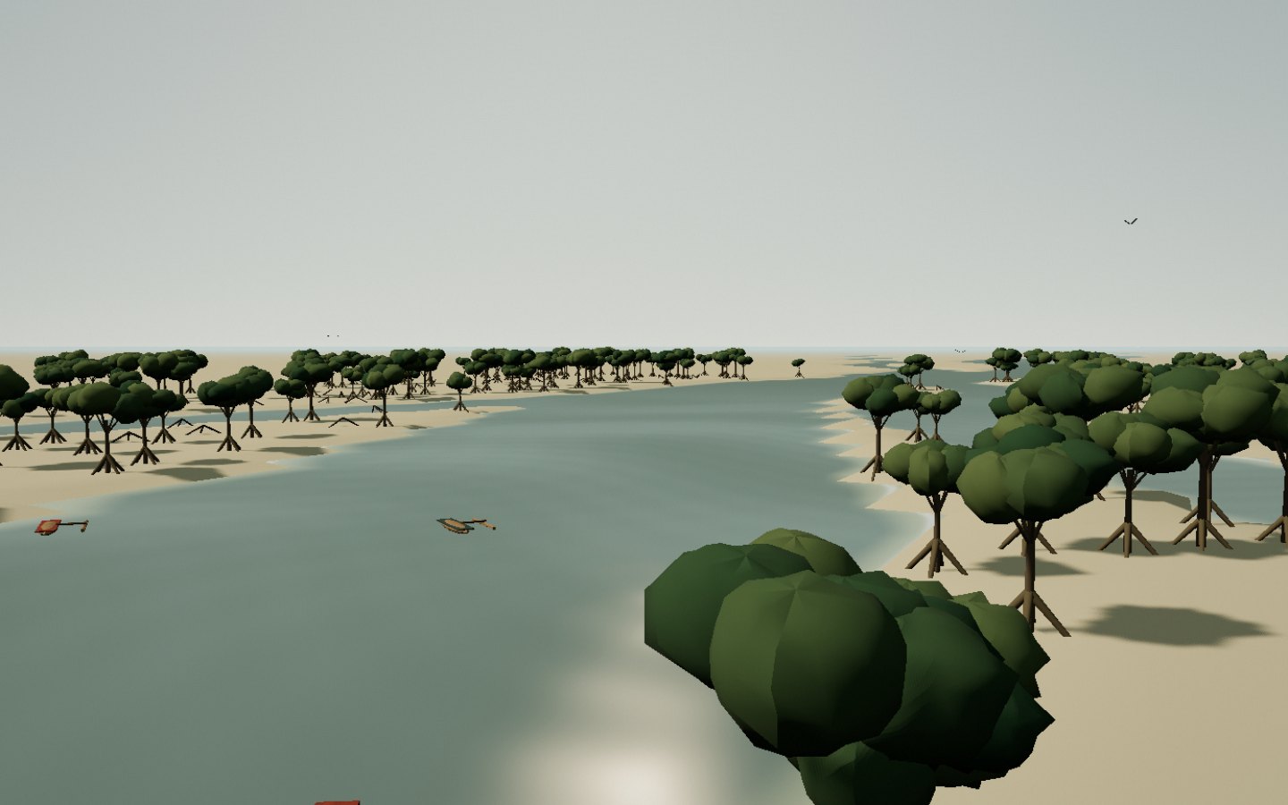
Ampanihy Bay On Sainte-Marie’s eastern side, Ampanihy Bay combines mangroves, waterways and lagoon scenery. Roots emerge between land and brackish water.
Follow the branching water among the mangrove roots.
Access Check access locally Place source ↗ See this stop ↗
The eastern coast The east coast receives morning light and faces the Indian Ocean. Coconut palms, beaches and offshore reef contrast with the western coves.
Look at the sequence of beach, lagoon and ocean.
Access Check access locally Place source ↗ See this stop ↗
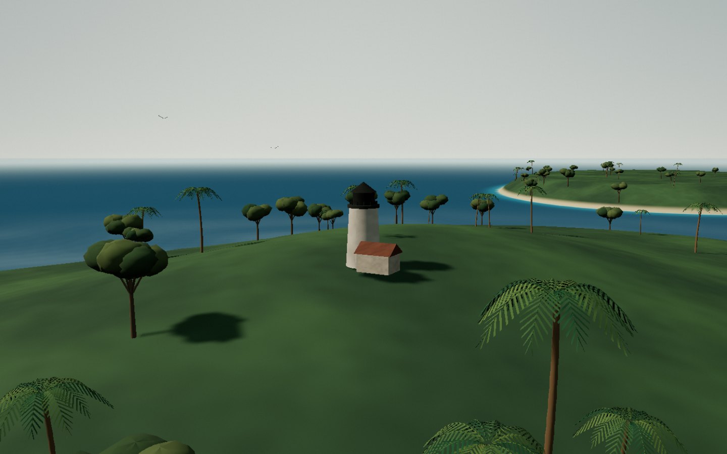
Blévec Lighthouse Blévec lighthouse stands on Île aux Nattes. Its white tower and dark lantern overlook a vegetated hill at the southern end of the archipelago.
The lighthouse lantern stands out above the shore.
Access Check access locally Place source ↗ See this stop ↗
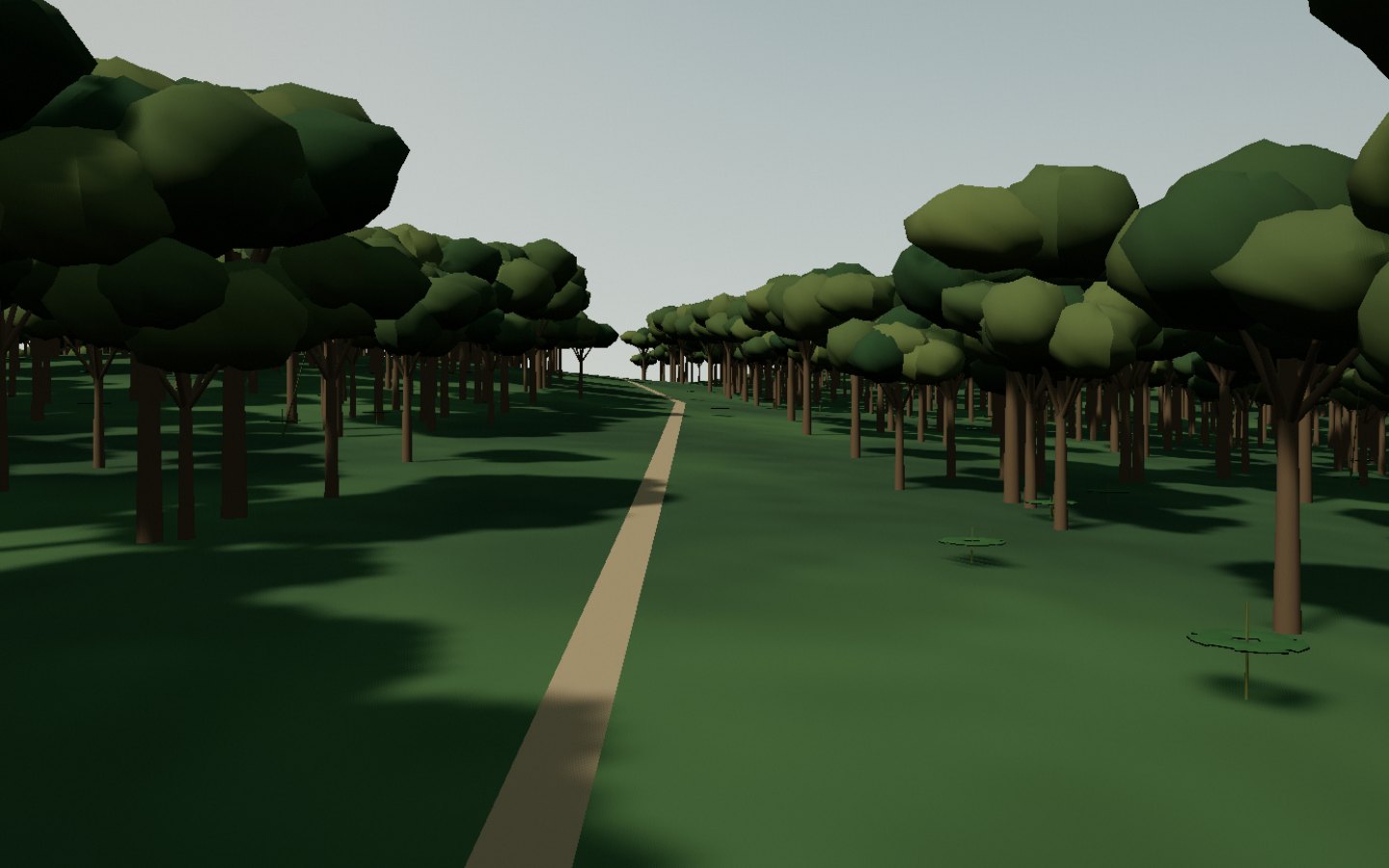
Ikalalao Forest Ikalalao preserves forest scenery in Sainte-Marie’s interior. The tour moves closer to the ground, trunks, leaves and light filtered by the canopy.
The light changes as the walk enters beneath the canopy.
Access Check access locally Place source ↗ See this stop ↗
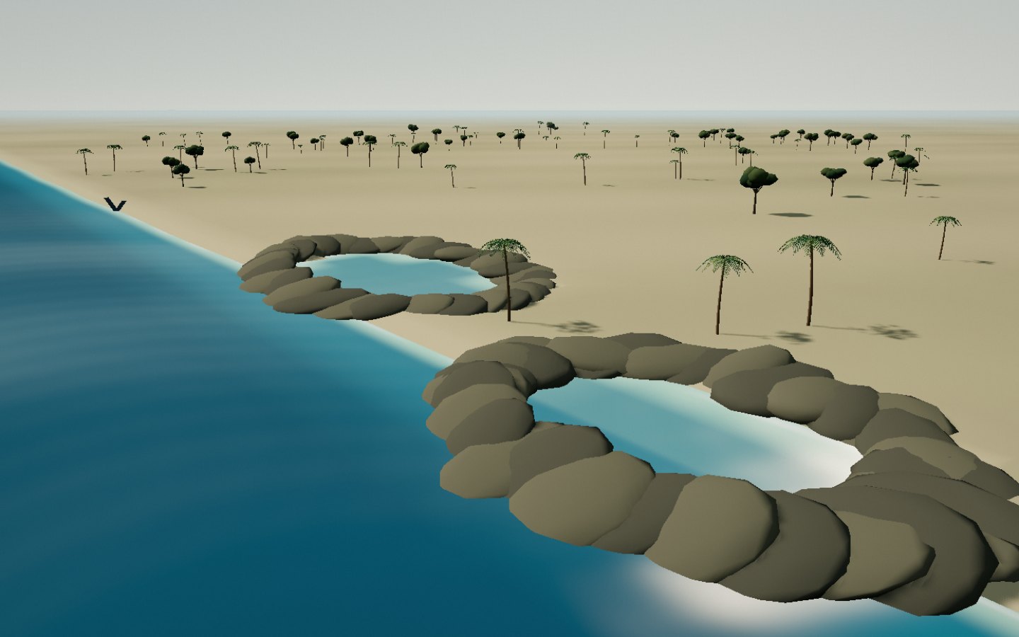
Ambodiatafana pools At the northern end, Ambodiatafana has a rocky coast and natural pools. Ocean waves strike the rocks while cavities retain water.
Water gathers among the rocks, with the ocean beyond.
Access Check access locally Place source ↗ See this stop ↗
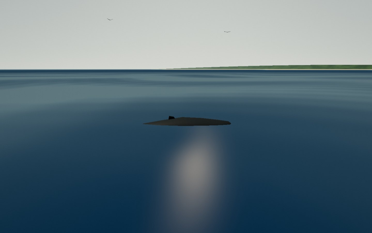
The passage of whales In season, humpback whales frequent the waters around Sainte-Marie. Off the green shore, their blow marks a brief appearance at the surface.
Watch the whale’s silhouette, long flippers and blow.
Access Check access locally Place source ↗ See this stop ↗